The ‘Loo loses car spots but gets its bus back
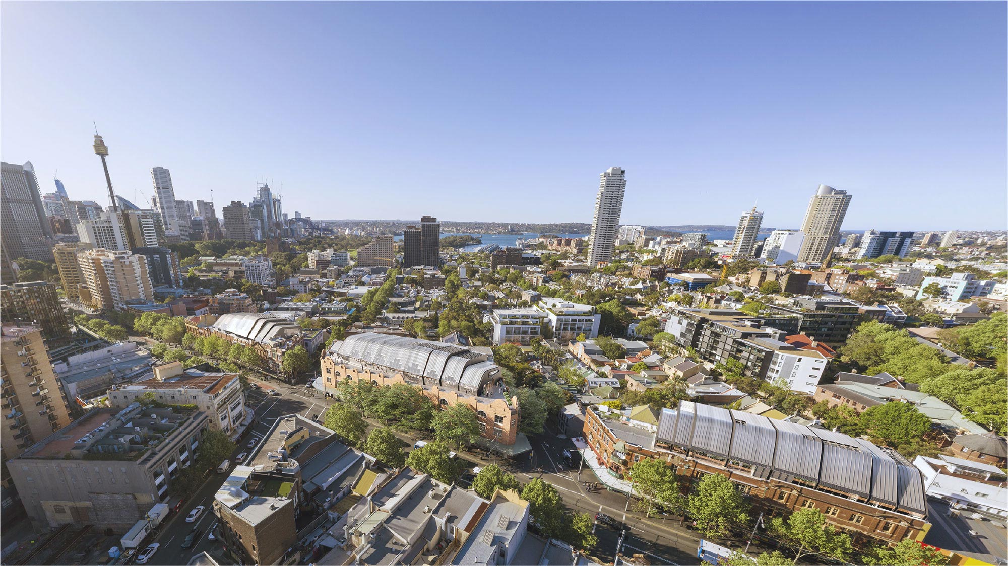
The ever-changing 311 bus route connecting Central Station, Elizabeth Bay, Woolloomooloo, and the City north will be re-routed through residential streets in Woolloomooloo after major changes to parking and traffic, if a plan by the City of Sydney and the Department of Transport is adopted.
STA buses on the route have stopped using Bourke St since the new separated cycleway was built, because the lanes became too narrow for safe passage. They were diverted via the less residential Sir John Young Crescent, site of the Domain Parking Station.
While Bourke Street residents opposing the cycleway have argued the street would become too narrow for large vehicles, the City had relied on RTA standards, and points out that both the RTA and STA were on the Sydney Traffic Committee which approved the plans.
But while residents on Bourke, Cathedral and Crown Streets could now get their buses back, 27 parking spaces would be lost along Bourke Street to make space for them. Another 21 spaces would be created by changing nearby Plunkett and Nicholson Streets to angle parking, with three extra spots in the carpark next to Bell’s Hotel.
The Loading Zone outside the East Sydney Hotel in Cathedral Street would become No Stopping, with two more parking spots lost to create turning space for bigger 12.5 metre buses the STA wants to introduce instead of the current 10.7 metre vehicles.
A buses-only right turn from Crown into William street would restrict traffic heading left into William or across into East Sydney to a single lane, which residents say would worsen already bad traffic jams in the evening peak. Currently this is the only legal right turn from Woolloomooloo into William.
New right-turns from nearby Riley into William Street would replace the Crown St turn, however general traffic will have to turn right from the single left lane, with a bus-only right turn for western route 480, 483 and 461 buses which now park in Woolloomooloo. Another six parking spaces would be lost from Riley Street and a new bus stop created for the western buses, linking Woolloomooloo with Strathfield via public transport.
“These changes will cause the least amount of congestion on both Crown and William, according to the modelling undertaken by the RTA,” said a City of Sydney spokesperson.
Crown Street resident Graham Woodlock was not impressed. “Once again, Woolloomooloo cops it from the Stevie Wonder School of town planning,” he said. “The buses are too big now and they’re about to get bigger.”
He suspected the new angle parking spots would be metered. “That’s what ruined Double Bay,” he said.
He would rather the western buses used Yurong Parkway to reach William Street, to spare the more residential Riley Street the roar of the buses climbing the hill.
But the City says there are problems with this: “The bus route on Riley St is intended to serve Woolloomooloo residents, rather than bypass them. It allows direct access to destinations as far afield as Broadway, Strathfield, Enfield and Burwood, via Sydney University and Leichhardt. The Yurong Parkway route can’t provide this access to residents, and is a local access road for the child care centre. It also suffers from a difficult right turn at William St because of the southbound traffic from Yurong St.
Clover Moore, Council and the 2011 Residents’ Association have been campaigning for smaller community-style buses on the route, which would allow the excised Elizabeth Bay loop to be reinstated and make the proposed changes in Woolloomooloo unnecessary.
To comment on the proposal, you can email Route311@transport.nsw.gov.au or route311@cityofsydney.nsw.gov.au by Wednesday December 8. View the plans online at the CityofSydney website.
by Michael Gormly