Australia Braces for Wet End to Summer as La Niña Looms in 2025

Climate experts are predicting a wet finish to the summer of 2024–2025, as Australia is likely to experience a La Niña event.
A recent report from the Bureau of Meteorology (BOM) indicates that a rare late-season La Niña is likely, with both ocean and atmospheric indicators pointing to the development of the phenomenon.
A Southern Hemisphere monitoring sheet published by the BOM on Wednesday stated that “both ocean and atmosphere indicators are now showing signs of stronger coupling, that is more consistent with a La Niña event.”
BOM scientists stated that ongoing atmospheric conditions above threshold levels suggest the La Niña event could establish itself by late summer. This is unusual, as La Niña typically develops during winter or spring.

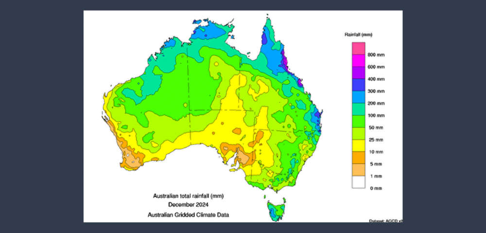
Experts also highlighted concerns over warming oceans, with global sea surface temperatures (SSTs) remaining well above average. In December 2024, Australia recorded its highest-ever sea surface temperatures for that month in the region, further intensifying concerns over climate change.
In the meantime, the effects of the shifting weather patterns are already being felt across eastern Australia.
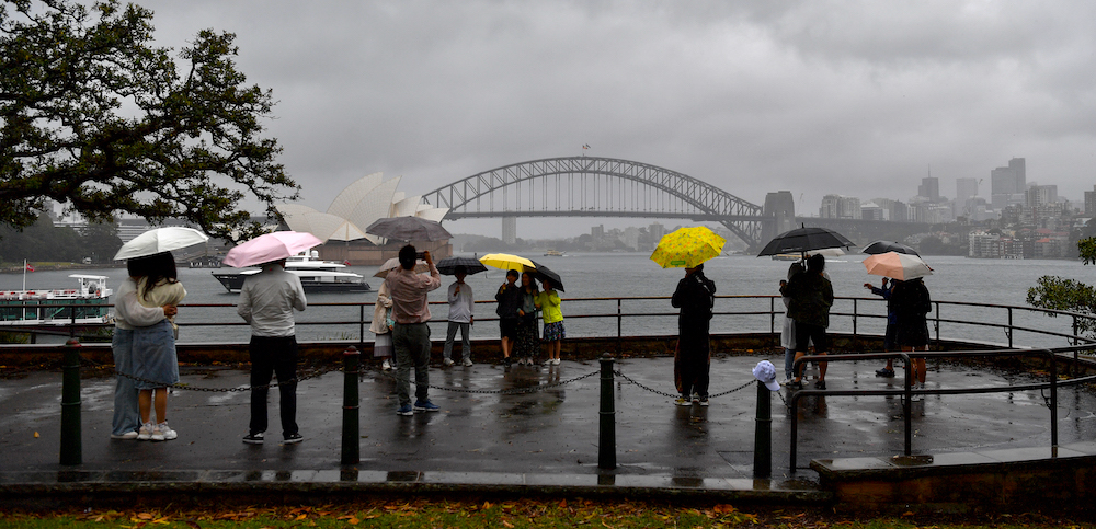
Sydney has already received close to half of its monthly average rainfall with 45mm recorded at Observatory Hill over the last 24 hours. This marks the heaviest rainfall the city has seen since late November.
More wet and stormy weather is expected to persist over a wide area of eastern Australia in the coming week, with showers and storms affecting eastern New South Wales and southeast Queensland on Thursday morning.
What Does La Niña Mean for Us?
La Niña is often associated with more rainfall, especially in eastern and northern Australia. During a La Niña event, the trade winds strengthen, pushing warm ocean waters toward the western Pacific, which leads to increased rainfall and storm activity across much of the country.
This results in higher-than-average rainfall, cooler temperatures, and an increased risk of flooding.
According to a report by www.weatherzone.com.au, a series of slow-moving upper-level troughs will continue to drive wet and stormy conditions across eastern Australia for the remainder of the week. Another weather system is expected to bring more rain and storms from the middle to the end of next week.
This persistent pattern of instability will bring consecutive days of rain and thunderstorms to parts of New South Wales, Queensland, and the ACT, with the wet weather extending into parts of Victoria and Tasmania.
Forecast models predict rainfall totals of 50 to 80 mm in large areas of eastern New South Wales and Queensland over the next seven days, with isolated areas receiving between 100 to 200 mm. Central and eastern Victoria and Tasmania can expect accumulated totals of about 30 to 60 mm.
Residents are advised to check the latest warnings for the most up-to-date information in their area.


