Inner West Suburbs Excluded From Housing Reforms Due To Flight Paths
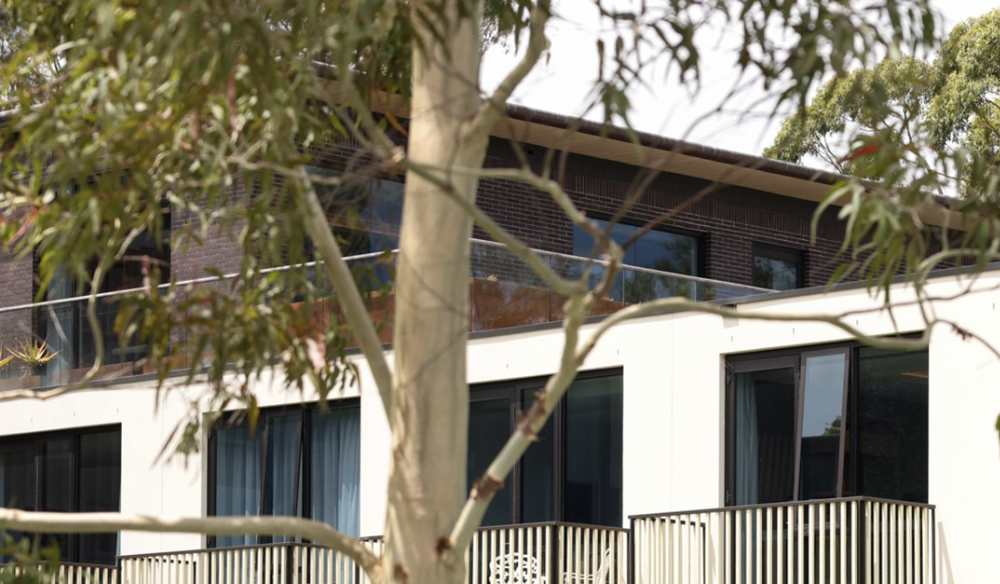
Image: paulscullymp/Instagram
Parts of the Inner West marked for development under the New South Wales government “missing middle” housing reforms will be rejected because they fall under Sydney Airport flight paths.
Announced last week, the “low-and-mid-rise” reforms aim to add 112,000 new dwellings over the next five years, specifically terraces, townhouses and residential flat buildings. However, some suburbs initially listed in the policy, such as Annandale, Petersham, Leichhardt, and Stanmore, as well as parts of Kingsford and Rockdale, will no longer be included.
The “missing middle” reforms are part of the Minns government’s attempts to build 378,000 homes by July 2029, increasing the density within 800 metres of 171 sites near train stations and town centres, and allowing buildings up to six storeys within a five-minute walk of the sites.
“The homes built under these reforms will be close to transport, open spaces and services that people need, creating better connected and more liveable neighbourhoods by making the most of existing critical infrastructure,” Minns said when the changes were announced last week.
Risks “hazardous noise levels”
The Department of Housing’s website offers an explanation for the excluded areas, and says “the policy does not apply” in areas contained within the Australian Noise Exposure Forecast (ANEF) contour of 20 or greater.
“The 20+ contour is considered a high level of noise exposure and generally affects land under flight landing paths nearing the runways,” the website reads.
“Additional housing density is generally discouraged in these areas to ensure the effective operation of the airport and to minimise exposure to hazardous noise levels.”
Existing council development policies do not ban development under the flight paths. A guideline for building site acceptability within ANEF zones states that houses, units, and flats are “conditionally acceptable” in areas with a 20 to 25 contour, almost the entire zone.
Speaking to the Sydney Morning Herald, a spokesperson from the Department of Planning, Housing and Infrastructure said the policy wouldn’t apply within the ANEF contours, but that the areas were included because altering flight paths meant the map could change over time.
“A small number of town centres and stations have a slight affectation under the current contours. Of those, given the long-term nature of the policy, it would be wrong to exclude the sites in their entirety,” he said.
Planning Minister Paul Scully assured the publication that “Lots impacted by the [ANEC] and contours were taken into account and do not impact the number of homes delivered under the policy.”